
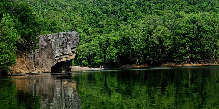
Backpacking in Arkansas offers an opportunity to immerse yourself in the diverse and awe-inspiring landscapes of the “Natural State.”
From the towering peaks of the Ozark Mountains to the winding trails through lush forests and alongside pristine rivers, Arkansas boasts a wealth of backpacking adventures for hikers of all levels.
In this guide, we’ll share essential tips and the top 5 multi-day trails in Arkansas, catering to both experienced backpackers and newcomers eager to explore the outdoors.
Interested? Let’s get going.
Here are the best multi-day backpacking trails in Arkansas:
Length: 29.2 mi / 47 km
Type: Loop
Difficulty: Hard
Elevation Gain: 3877 ft / 1182 m
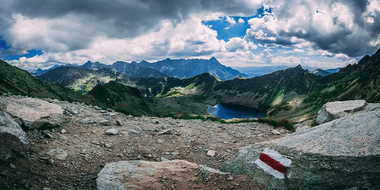
Location: Ouachita National Forest
Estimated Hiking Calorie Burn: 11 800 calories
More Details: See on AllTrails
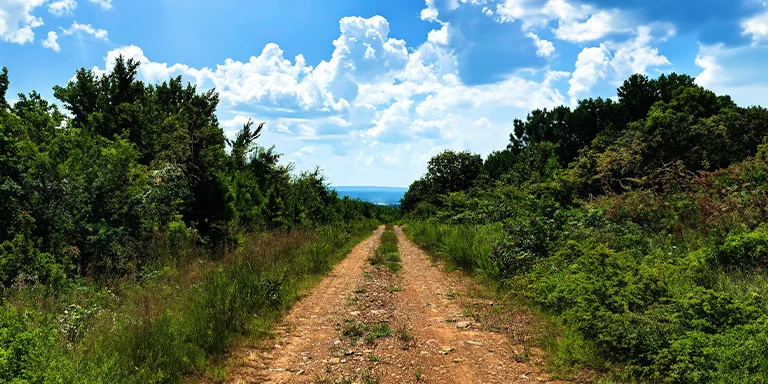
The challenging 26.6-mile Eagle Rock Loop in Arkansas combines three trails through scenic wilderness with rivers, waterfalls, and mountain peaks. Suitable for experienced backpackers, the strenuous 3-day trek requires navigating water crossings and steep inclines with minimal phone reception.
Length: 213.9 mi / 344.2 km
Type: Point to point
Difficulty: Hard
Elevation Gain: 32 276 ft / 9838 m
Location: Pinnacle Mountain State Park
Estimated Hiking Calorie Burn: 73 900 calories
More Details: See on AllTrails
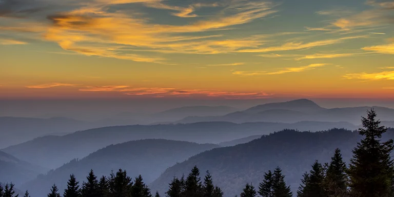
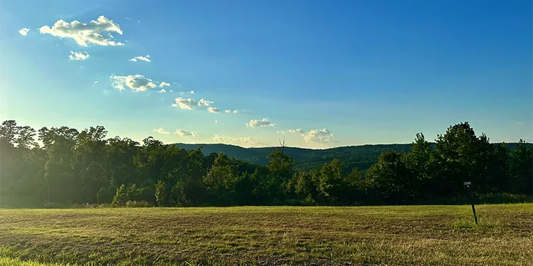
The 213.9-mile Ouachita National Recreation Trail is a challenging point-to-point backpacking route through the Ouachita Mountains of Oklahoma and Arkansas, averaging 94 hours. It features steep, rocky terrain requiring sturdy shoes, well-marked but dispersed campsites, and scarce water sources. The strenuous multi-day hike offers scenic mountain views and birding opportunities year-round but demands proper planning.
Russ, CC BY 2.0, via Wikimedia Commons
Length: 15.6 mi / 25.1 km
Type: Loop
Difficulty: Hard
Elevation Gain: 2007 ft / 612 m
Location: Devil’s Den State Park
Estimated Hiking Calorie Burn: 7000 calories
More Details: See on AllTrails
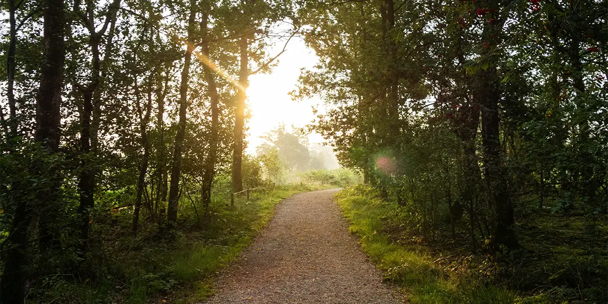
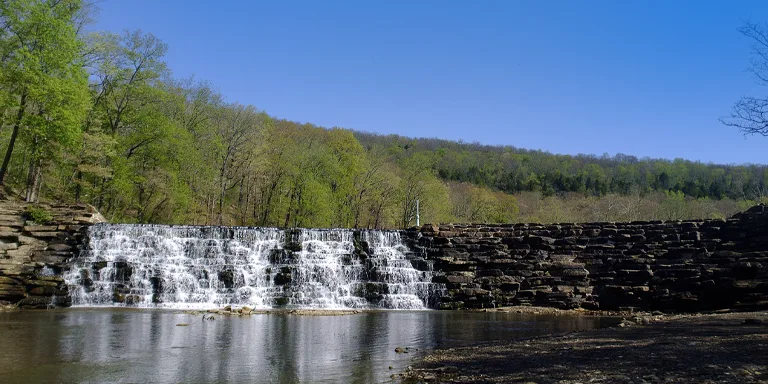
The 15.6-mile Butterfield Trail is a challenging 6.5-hour loop in Devil’s Den State Park and Ozark National Forest near Winslow, Arkansas. Following the historic Butterfield Stagecoach route, it offers scenic rock formations, mountain views, and creeks along its rocky, mountainous terrain with steep sections. Designated and dispersed camping available, permit required for overnight backpacking.
Length: 35.8 mi / 57.6 km
Type: Point to point
Difficulty: Hard
Elevation Gain: 4547 ft / 1386 m
Location: Ouachita National Forest
Estimated Hiking Calorie Burn: 14 200 calories
More Details: See on AllTrails
The challenging 35.8-mile point-to-point trail near Mountain Pine, Arkansas averages 14.5 hours. Well-marked, it passes campgrounds with restrooms and offers gorgeous vistas, though requires careful water management. Popular for backpacking March-May with opportunities for solitude. Hammock camping recommended for this strenuous but scenic Arkansas trek.
Length: 35.5 mi / 57.1 km
Type: Point to point
Difficulty: Hard
Elevation Gain: 5830 ft / 1777 m
Location: Buffalo National River Wilderness
Estimated Hiking Calorie Burn: 14 600 calories
More Details: See on AllTrails
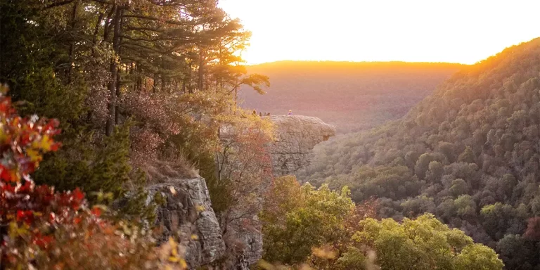
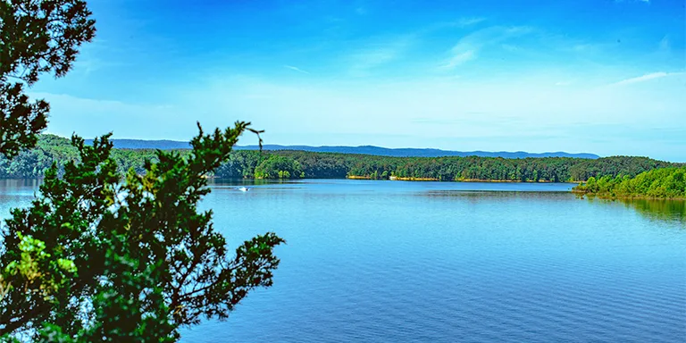
The challenging 35.5-mile Old River Trail follows the Buffalo National River from Ponca to Pruitt in Arkansas, averaging 16 hours. It requires numerous river crossings while passing remnants of abandoned pioneer vehicles. Popular for backpacking and riding, the scenic trail is best in fall/winter to avoid bugs. Designated campsites exist but require planning for water sources on this remote wilderness trek.
Arkansas experiences a varied climate throughout the year. Here’s a general overview:
Before making your gear selection, take a look at the weather statistics for Arkansas (Little Rock):
| Jan | Feb | Mar | Apr | May | Jun | Jul | Aug | Sep | Oct | Nov | Dec | |
|---|---|---|---|---|---|---|---|---|---|---|---|---|
| High °F | 51 | 56 | 65 | 73 | 81 | 89 | 92 | 92 | 85 | 74 | 63 | 53 |
| Low °F | 34 | 37 | 45 | 53 | 62 | 70 | 73 | 72 | 65 | 54 | 44 | 36 |
| Rain/Snow (D*) | 7 | 8 | 10 | 10 | 12 | 10 | 10 | 8 | 8 | 8 | 8 | 8 |
Not sure if Arkansas is right for you?
Don’t forget to check out our backpacking guide for Tennessee.
Campfires are limited when backpacking in Arkansas, and they might be banned in dry times. You can only have fires at established campsites in the backcountry or in portable fire rings, and permits might be needed. Only use dead and down wood if you decide to have a fire. It’s safer to cook with a camp stove instead. Be cautious, as campfires could attract bears.
When backpacking in Arkansas, get ready for remote areas, wildlife, heat, and storms. Bring a GPS or maps and a compass since trails might not be well marked. Be on the lookout for snakes, ticks, and spiders; avoid reaching into holes. Stay hydrated, find shade during midday, and check the weather forecast. Turn back if storms are coming. Store your food properly because there are bears around. Don’t hike alone, let others know your plans, and be careful near steep edges and fast rivers. Filter stream water cautiously to avoid giardia.
Be cautious with animals in the Arkansas backcountry. Make noise to avoid surprising bears or bobcats. Give snakes, squirrels, and armadillos space. Look for signs like scat and tracks to avoid active areas. Know how to use bear spray. If you encounter a black bear, face it, yell, and back away slowly; don’t run. For mountain lions, make yourself look big. Give deer space. Never approach or feed wildlife. Be extra careful around dusk when animals are active. Report any issues to rangers.