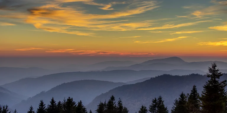
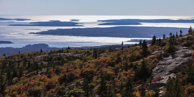
Backpacking in Maine offers immense variety for outdoor enthusiasts, from the rugged peaks of the Appalachian Trail to the rocky coastline of Acadia National Park, including popular destinations like Baxter State Park.
And that’s what this post is all about – backpacking in Maine. We’ll provide tips to help you prepare for backpacking in this diverse state as well as showcase the best multi-day trails in Maine.
Interested? Let’s get started.
Explore Maine’s best scenic trails for epic adventures:
Length: 11.4 mi / 18.3 km
Type: Loop
Difficulty: Hard
Elevation Gain: 4455 ft / 1358 m
Location: Baxter State Park
Estimated Hiking Calorie Burn: 3450 calories
More Details: See on AllTrails
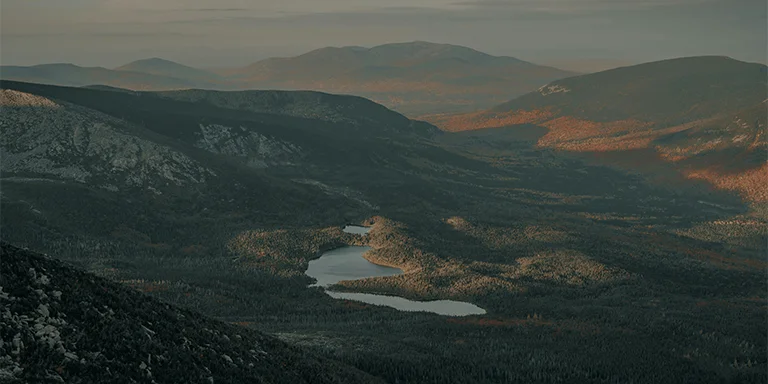
The challenging 11.4 mile loop near Stacyville, Maine is a classic but demanding hike up Mt. Katahdin, Maine’s tallest peak and end of the Appalachian Trail. It features steep boulder field ascents to Knife’s Edge ridge with sheer drops, summiting Baxter Peak, descending into a valley, then climbing Hamlin Peak with a tricky descent. Permits required from Baxter State Park. Best hiked March-October, plan for an early start, 10+ hours, varied terrain with scenic overlooks. Proper footwear and supplies essential for this strenuous loop with incredible views.
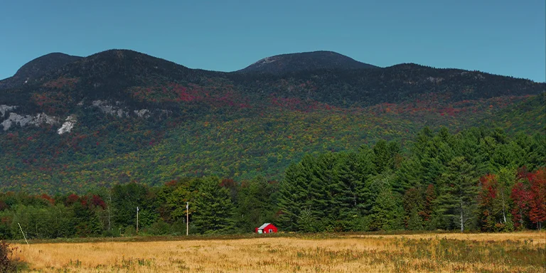
The B’s, CC BY-SA 2.0, via flickr
Length: 33.5 mi / 53.9 km
Type: Loop
Difficulty: Hard
Elevation Gain: 11 138 ft / 3395 m
Location: Grafton Notch State Park
Estimated Hiking Calorie Burn: 9750 calories
More Details: See on AllTrails
For experienced backpackers April-October, the challenging 33.5-mile loop near Newry, Maine winds through rugged, remote Grafton Notch and Mahoosuc Mountain terrain. Designated campsites with bear boxes are 5-10 miles apart. Water is scarce on secluded sections. The steep, rocky trail with spectacular views rewards proper training for this strenuous but scenically breathtaking adventure through forests and peaks.
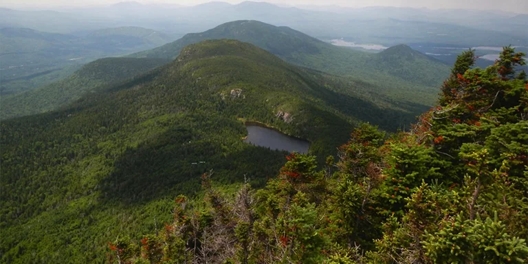
John Hayes, CC BY-SA 2.0, via flickr
Length: 12.2 mi / 19.6 km
Type: Loop
Difficulty: Hard
Elevation Gain: 3825 ft / 1166 m
Location: Bigelow Preserve
Estimated Hiking Calorie Burn: 3250 calories
More Details: See on AllTrails
This challenging 12.2-mile loop trail near Stratton is perfect for backpacking, camping, and fishing from May through November. The ridge traverse leads up two beautiful summits, including Avery Peak’s stone fire tower. Starting on the Fire Warden’s Trail, you’ll take the Horns Pond Trail traversing the scenic Bigelow Ridge before returning via the Fire Warden’s. Though popular, you can find solitude during quiet times. Camp at Moose Falls site with ample water sources. With gorgeous views, a moderate amount of ups and downs, and well-marked trails, it’s considered a must-do hike.
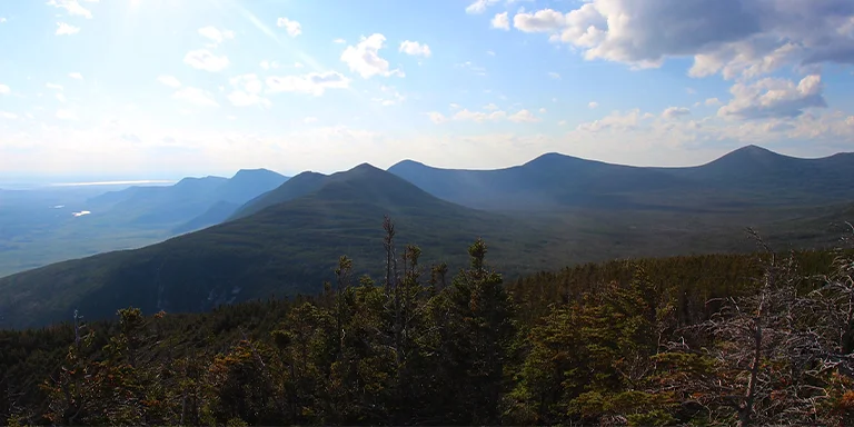
daveynin, CC BY-SA 2.0, via flickr
Length: 10.4 mi / 16.7 km
Type: Out and back
Difficulty: Hard
Elevation Gain: 3832 ft / 1168 m
Location: Baxter State Park
Estimated Hiking Calorie Burn: 3290 calories
More Details: See on AllTrails
The challenging 10.4-mile out-and-back trail to Baxter Peak is immensely popular June-October. From Chimney Pond, it steeply climbs the Saddle Trail headwall to a ridge with views to Maine’s 5,268-foot highest summit. Avoiding Knife Edge but requiring reservations/fees. Be prepared for cold nights camping at high elevation Chimney Pond. Heavy traffic but iconic trail with spectacular vistas, especially in fall foliage.
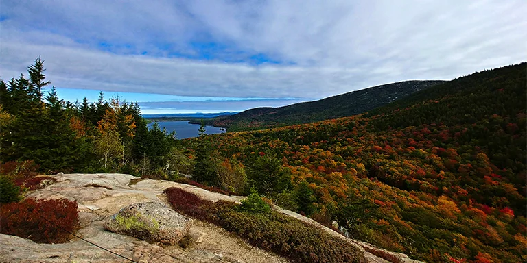
Length: 23.3 mi / 37.5 km
Type: Out and back
Difficulty: Moderate
Elevation Gain: 1289 ft / 393 m
Location: Acadia National Park
Estimated Hiking Calorie Burn: 4600 calories
More Details: See on AllTrails
This moderately challenging 23.3-mile out-and-back stretches along the carriage roads of Acadia National Park from April to November. Passing ponds, lakes, and ocean vistas, highlights include Pemetic Mountain, Cadillac Mountain, and Jordan Pond. Entry fees are required, but you’ll find tranquility during quiet times. The trail is popular for hikers, horseback riders, and bird watchers. With oceanfront views from Bar Harbor and the interior park peaks visible along the way, it provides a comprehensive showcase of Acadia’s beauty.
Maine’s weather for backpacking can vary based on the season and region. Here’s a general overview:
Before making your gear selection and heading to the trailhead, take a look at the weather statistics for Maine (Farmington):
| Jan | Feb | Mar | Apr | May | Jun | Jul | Aug | Sep | Oct | Nov | Dec | |
|---|---|---|---|---|---|---|---|---|---|---|---|---|
| High °F | 27 | 30 | 39 | 53 | 65 | 73 | 78 | 76 | 68 | 56 | 43 | 32 |
| Low °F | 11 | 13 | 23 | 35 | 45 | 55 | 60 | 58 | 50 | 40 | 30 | 18 |
| Rain/Snow (D*) | 7 | 7 | 8 | 9 | 10 | 12 | 12 | 11 | 9 | 9 | 8 | 9 |
Not sure if Maine is right for you?
Don’t forget to check out our backpacking guides for Vermont and New Hampshire.
Campfires are permitted while backpacking in the outdoors and forests of Maine, but there are important regulations to follow. You must obtain a fire permit from the Maine Forest Service prior to having a campfire as you enjoy the natural surroundings. Permits are free and can be acquired online or from local fire warden offices. There are also rules about where and how you can build a fire – it must be in a cleared area away from overhanging branches and logs/rocks should surround the fire pit. Fires must be completely extinguished before leaving the area.
For the most part, permits are not required for backpacking and wilderness exploration in Maine, except for certain restricted areas like Baxter State Park or the Allagash Wilderness Waterway. However, groups over 15 people need a permit for Maine’s public reserved lands, and open fires require a statewide fire permit
The 281 miles of the Appalachian Trail in Maine takes most hikers 7-10 days to complete going northbound or 5-7 days going southbound. The rugged, mountainous terrain with steep climbs, tricky footing, and over 10 peaks makes for slower progress compared to other sections of the AT. The weather in Maine can also impact hiking pace if conditions become rainy, cold or wintery at higher elevations. On average, hikers cover 12-15 miles per day in Maine, with faster hikers reaching over 20 miles on some days. But the challenging trails usually mean hiking at a slower speed than normal. It’s wise to allot extra time when planning an AT hike in Maine.
When backpacking in Maine, you may encounter wildlife like moose, deer, foxes, and black bears. Avoid surprising animals and give them space to move away. Make noise on the trail so they know you’re coming. Be extra alert at dawn and dusk when some animals are most active. Keep food stored properly so it doesn’t attract bears. If you meet a black bear, back away slowly and do not run. Talk calmly so the bear knows you are human, not prey. Carry bear spray just in case, but try to give bears a chance to retreat first before using it.
When backpacking in Maine, prepare for challenging terrain and variable weather. Pack a lightweight backpacking tent, warm sleeping bag, sleeping pad, and navigation essentials like a map, compass, and GPS device. Choose performance fabrics that wick moisture and insulate when wet. Carry extra layers, rain gear, and plenty of food. Research regulations and required permits. Maine has ample water sources, but a filter or treatment tablets are still recommended. Install weather and sunset alerts on your phone. Though demanding, Maine’s striking scenery makes the effort rewarding. With the right gear and preparations, you can safely enjoy an incredible backpacking experience.