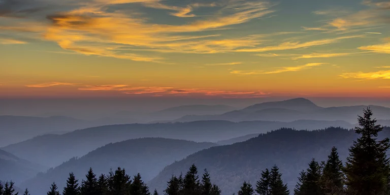
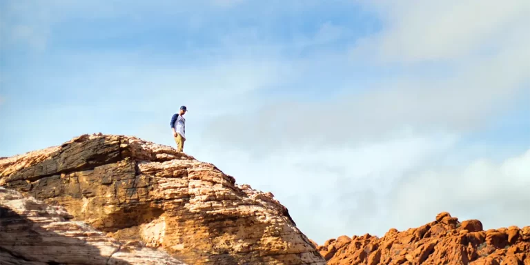
Backpacking in Nevada offers immense variety for outdoor enthusiasts, from the rugged peaks of the Ruby Mountains to the windswept trails of the Black Rock Desert, including popular destinations like the Sierra Nevada.
And that’s what this post is all about – backpacking in Nevada. We’ll provide tips to help you prepare for backpacking in this diverse state as well as showcase the TOP 5 multi-day trails in Nevada.
Interested? Let’s get started.
Nevada’s top multi-day backpacking trails, which showcase the state’s immense natural beauty:
Length: 166.6 mi / 268 km
Type: Loop
Difficulty: Hard
Elevation Gain: 26 870 ft / 8190 m
Location: Humboldt-Toiyabe National Forest
Estimated Hiking Calorie Burn: 20 300 calories
More Details: See on AllTrails
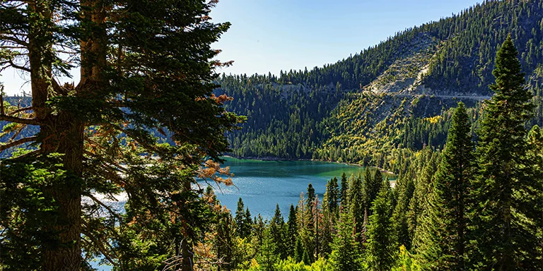
This challenging 166-mile loop near Incline Village, open July-September, is a rugged multi-day backpackers’ trail with scenic Tahoe vistas, crossing through The Desolation Wilderness and reaching 10,286 feet at Relay Peak. Conditions require caution, preparation for changing weather, and experience hiking steep, exposed sections with stream crossings.
Length: 36.6 mi / 58.9 km
Type: Point to point
Difficulty: Hard
Elevation Gain: 9714 ft / 2961 m
Location: Humboldt-Toiyabe National Forest
Estimated Hiking Calorie Burn: 4800 calories
More Details: See on AllTrails
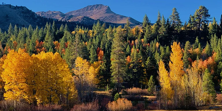
The Ruby Crest Trail is a remote 36.6-mile point-to-point backpacking route in the Ruby Mountains near Elko, Nevada. It offers stunning high alpine scenery with granite peaks, mountain lakes, and flower meadows along its challenging terrain. The multi-day hike requires navigation skills and preparation for steep climbs, rugged descents, and solitude across its scenic yet demanding path.
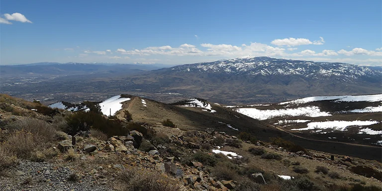
Ken Lund, CC BY-SA 2.0, via flickr
Length: 36.4 mi / 58.6 km
Type: Point to point
Difficulty: Hard
Elevation Gain: 11 076 ft / 3376 m
Location: Arc Dome Wilderness
Estimated Hiking Calorie Burn: 5000 calories
More Details: See on AllTrails
The Toiyabe Crest Trail is a remote 36.4-mile point-to-point backpacking route near Round Mountain, Nevada, offering solitude and scenic views. The challenging route has 11,076 feet of elevation gain and is ideal for experienced backpackers seeking stunning vistas and seclusion. Proper preparation and navigation skills are needed for the demanding climbs and descents along the trail through the Toiyabe mountain range.
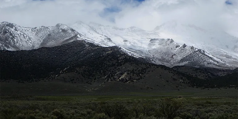
H Flannery, CC BY-SA 2.0, via flickr
Length: 24.7 mi / 39.7 km
Type: Out and back
Difficulty: Hard
Elevation Gain: 7230 ft / 2204 m
Location: Humboldt-Toiyabe National Forest
Estimated Hiking Calorie Burn: 3350 calories
More Details: See on AllTrails
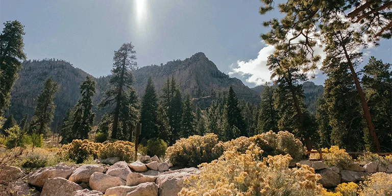
The Ruby Mountains Trail is a scenic yet challenging 24.7-mile out-and-back route near Spring Creek, Nevada, taking experienced backpackers about 15 hours to complete. The July-September season offers spectacular wilderness views of alpine lakes and the Ruby Mountains along its remote path up to 10,000 feet. Proper preparation and supplies are essential for this strenuous mountain hike with changeable weather, rugged sections, and limited water sources between Furlong Creek and Overland Lake.
Length: 24.6 mi / 39.5 km
Type: Out and back
Difficulty: Hard
Elevation Gain: 8349 ft / 2545 m
Location: Mount Charleston Wilderness
Estimated Hiking Calorie Burn: 3460 calories
More Details: See on AllTrails
The scenic yet strenuous 24.6-mile Bristlecone Trail near Indian Springs is an out-and-back route taking experienced hikers about 16 hours to complete roundtrip. The May-October season provides beautiful mountain wilderness views in Mt. Charleston, with the trail climbing to around 10,000 feet through forests and meadows. Proper preparation and adequate water sources are essential for this remote mountain hike, as the route has rugged sections and the only reliable water source is Wood Spring.
Keep in mind that Nevada can have hot temperatures, so it’s essential to plan trips accordingly and stay hydrated:
Prior to choosing your gear, review the weather data for Nevada (Las Vegas):
| Jan | Feb | Mar | Apr | May | Jun | Jul | Aug | Sep | Oct | Nov | Dec | |
|---|---|---|---|---|---|---|---|---|---|---|---|---|
| High °F | 58 | 63 | 71 | 78 | 89 | 99 | 105 | 103 | 95 | 81 | 67 | 57 |
| Low °F | 40 | 44 | 51 | 57 | 66 | 76 | 82 | 81 | 72 | 60 | 47 | 40 |
| Rainy days | 3 | 4 | 3 | 2 | 1 | 0 | 2 | 2 | 2 | 2 | 2 | 3 |
Not sure if Nevada is right for you?
Don’t forget to check out our backpacking guides for Utah and Oregon.
Campfires are extremely risky and restricted in Nevada’s arid backcountry due to the potential for uncontrolled wildfires. Most public lands prohibit ground fires outside of developed campground rings. Stoves are highly recommended for cooking. Gathering wood is often prohibited as well.
Exploration of Nevada’s rugged wilderness comes with risks, so come prepared when venturing into its beautiful nature and outdoors. Check trailhead information boards for permit requirements before starting your backpacking trip. Stay on marked trails as the open desert can make navigation difficult without proper skills. Experience the tranquility of nature but remain vigilant for wildlife encounters. Carry plenty of water and sun protection as dehydration is a real danger. Inform someone of your trip details since trails are remote. Shake out boots and use trekking poles to avoid stepping on venomous creatures. Bring emergency communication devices in case you get lost, and beware of flash flooding in slot canyons during monsoon season. With the right preparation, you can safely enjoy exploring Nevada’s scenic backcountry while embracing the outdoor challenges it presents.
Make noise periodically to avoid surprising them, and never approach or crowd them. Give wildlife plenty of space, watch where you step, and use trekking poles for stability. Keep food properly stored, don’t feed wild animals, and learn proper removal techniques if bitten or stung. Carrying bear spray, snake bite kits, and knowing first aid can help you handle wildlife encounters.