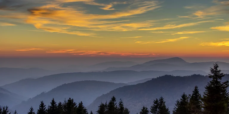
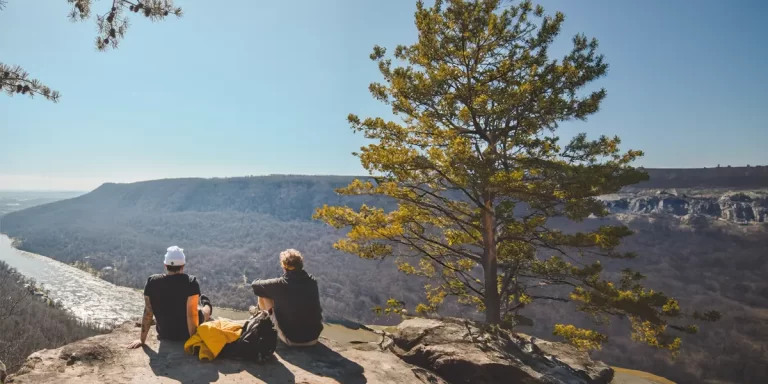
Backpacking in Tennessee offers immense variety for outdoor enthusiasts, from the rugged slopes of the Great Smoky Mountains to the lush forests of Land Between the Lakes, including popular destinations like the Appalachian Trail and Cumberland Trail.
And that’s what this post is all about – backpacking in Tennessee. We’ll provide tips to help you prepare for backpacking in this diverse state as well as showcase the TOP 5 multi-day trails in Tennessee.
Interested? Let’s get started.
Explore Tennessee’s best scenic long trails for epic adventures featuring diverse wildlife:
Length: 30.8 mi / 49.6 km
Type: Point to point
Difficulty: Hard
Elevation Gain: 5626 ft / 1 715 m
Location: Great Smoky Mountains National Park
Estimated Hiking Calorie Burn: 7400 calories
More Details: See on AllTrails
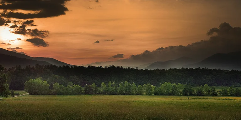
Hike a scenic 30.8-mile stretch of the iconic Appalachian Trail from Newfound Gap to Davenport Gap outside Gatlinburg. This challenging multi-day backpacking trip traverses high ridges and forested valleys, offering stunning vistas of the Great Smoky Mountains along the way. The route is accessible year-round but can be treacherous in winter. Be prepared for steep climbs, rocky footing, and changing weather at high elevations. Highlights include the spectacular views from Charlies Bunion and the Mt. Cammerer fire tower.
Michael Hicks, CC BY-SA 2.0, via flickr
Length: 26.2 mi / 42.2 km
Type: Loop
Difficulty: Hard
Elevation Gain: 3028 ft / 923 m
Location: Savage Gulf State Park
Estimated Hiking Calorie Burn: 6300 calories
More Details: See on AllTrails
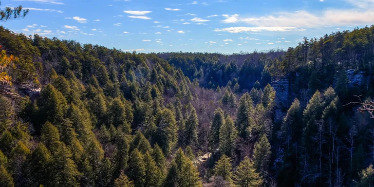
The rugged 26-mile Fiery Gizzard loop near Palmer is a challenging yet scenic backpacking trail through forested hills and valleys. Hikers are rewarded with rocky overlooks, waterfall views, and exceptional wilderness campsites. The steep, rocky trail requires scrambling at times but offers peaceful solitude during quieter seasons. Careful preparation and pacing allows backpackers to fully experience the remote beauty and magic of this diverse trail loop.
Length: 28.4 mi / 45.7 km
Type: Loop
Difficulty: Hard
Elevation Gain: 4422 ft / 1348 m
Location: Prentice Cooper State Forest
Estimated Hiking Calorie Burn: 6900 calories
More Details: See on AllTrails
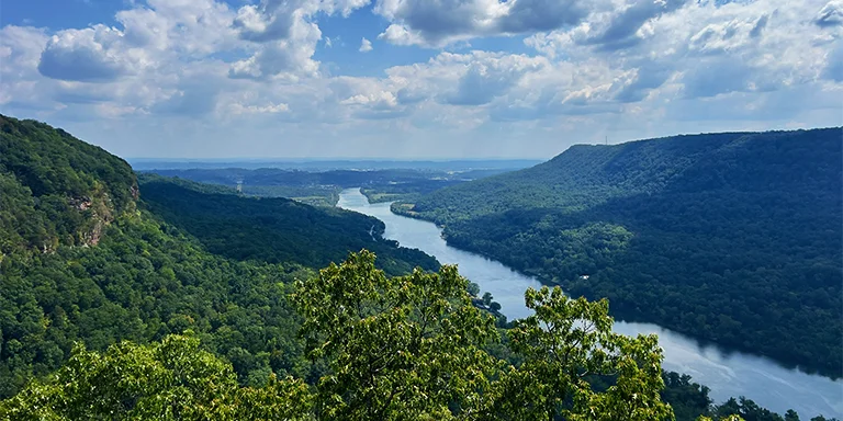
The scenic yet challenging 28-mile Cottonwood Trail loop near Chattanooga winds through forests and along streambeds in a remote gorge wilderness. Backpackers are treated to stunning winter views, rock overhangs, and waterfalls while contending with steep climbs, slippery leaf-covered surfaces, and occasional tricky stream crossings. The northern section has better maintained trails and camping access to water. With careful preparation for fluctuating terrain and conditions, backpackers will be rewarded with solitude and natural beauty on this loop.
Jeff Moore, CC BY-SA 2.0, via flickr
Length: 31.7 mi / 51 km
Type: Out and back
Difficulty: Hard
Elevation Gain: 5629 ft / 1716 m
Location: Cumberland Gap National Historical Park
Estimated Hiking Calorie Burn: 7600 calories
More Details: See on AllTrails
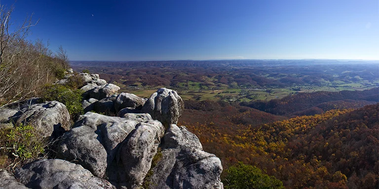
The challenging 31-mile out-and-back Pinnacle Trail near Cumberland Gap rewards backpackers with scenic ridge-line views but requires careful planning for limited water sources along the route. The trail involves steep inclines leading to the pinnacle overlook, then becomes more moderate beyond. Highlights include historic Hensley Settlement, White Rocks, and the solitude of the remote mountainous wilderness. With proper preparation for the strenuous uphill stretches, lack of water access, and changing terrain, this trail offers a great backpacking challenge with rewarding vistas.
Justin Mier, CC BY-SA 2.0, via flickr
Length: 32.7 mi / 52.6 km
Type: Loop
Difficulty: Hard
Elevation Gain: 7001 ft / 2134 m
Location: Great Smoky Mountains National Park
Estimated Hiking Calorie Burn: 7900 calories
More Details: See on AllTrails
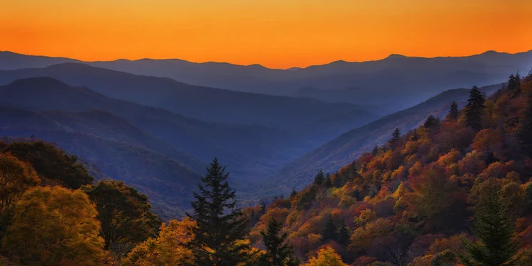
The challenging 32-mile Mount Cammerer Loop Trail near Cosby winds through remote wilderness in the Great Smoky Mountains, rewarding backpackers with stunning 360-degree views from the historic fire tower atop Mount Cammerer along with scenic campsites and ridge walking. However, most of the trail is rigorous uphill climbing on the way in, so be prepared for a tough hike before enjoying the panoramic vistas. Careful planning is required between water sources and camping destinations across steep, uneven terrain.
Tennessee’s climate varies by season and region. Here’s a brief overview:
Before selecting your gear and hitting the trailhead, check out the year-round weather averages for Tennessee (Knoxville):
| Jan | Feb | Mar | Apr | May | Jun | Jul | Aug | Sep | Oct | Nov | Dec | |
|---|---|---|---|---|---|---|---|---|---|---|---|---|
| High °F | 48 | 52 | 62 | 71 | 78 | 85 | 87 | 87 | 81 | 71 | 60 | 51 |
| Low °F | 31 | 34 | 41 | 49 | 58 | 66 | 69 | 68 | 61 | 50 | 40 | 34 |
| Rain/Snow (D*) | 9 | 9 | 10 | 10 | 12 | 13 | 14 | 11 | 8 | 7 | 8 | 9 |
Not sure if Tennessee is right for you?
Don’t forget to check out our backpacking guides for Arkansas and North Carolina.
Always be aware of your surroundings and try not to surprise animals. Give bears and coyotes space if seen from a distance and do not leave food unattended. Never feed or attempt to touch wildlife as this could cause them to attack to protect themselves. Carry bear spray and know how to use it for protection if needed. Make noise on trails to avoid sneaking up on animals. Be aware that snakes and ticks are common in many parts so stick to trails and do thorough tick checks after being in wooded areas.
There are several main access points to the Appalachian Trail in Tennessee where hikers can join the iconic trail, including Davenport Gap and Spring Mountain near the Tennessee/North Carolina border which are two of the major southern access points; Rocky Fork Creek located near Unicoi close to the state line provides another access further north; the AT can also be accessed from points near Watauga Lake in northeastern TN, the scenic Roan Highlands area has numerous access points in and around Roan Mountain, and Big Laurel Branch Wilderness offers an entry point near Hampton in eastern Tennessee.
Exploring the lush forests and rolling hills of Tennessee by backpack is an exhilarating adventure into nature, but proper precautions are key for backpackers carrying tents and gear while immersed in the wilderness. Before trekking to breathtaking backcountry campsites, pick up a detailed trail map and inform friends of your route. Wear bright gear in case you lose your way on winding wooded trails. Make noise to avoid surprising black bears and other wildlife. Bring plenty of water since adventure spurs thirst. Pack a first aid kit, flashlight, whistle and rain poncho in case conditions turn hazardous. With preparation, you can delight in the state’s natural beauty and mountain vistas while backpacking, as long as you prioritize caution and safety when immersed in Tennessee’s outdoors. Taking measures to stay found, stay hydrated and stay safe will allow you to fully embrace the joys of backcountry exploration.
Campfires are allowed while backpacking in Tennessee but have restrictions. In National Parks, fires are only permitted in designated rings at backcountry sites. State parks require free fire permits and may ban fires during droughts. Wilderness areas prohibit ground fires year-round in some ecologically sensitive spots. When allowed, use established rings, keep fires small, and fully extinguish them. Collect only dead wood, follow all regulations, and consider a camp stove when cooking to minimize impact. With proper precautions, you can safely enjoy campfires in permitted areas while exploring Tennessee’s natural beauty.